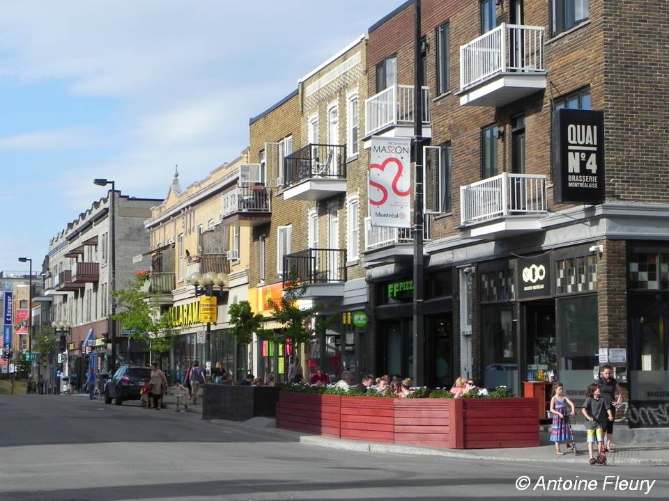
In Paris and Montreal, we use existing Geographical Information Systems that contains rich and up-to-date information on urban resources : health resources (pharmacies, medical laboratories, general practitioners and specialists, hospitals and clinics), stations of public transportation (bus, subway, train), shopping facilities, cultural facilities, green areas, sport and leisure facilities.
- In the Paris metropolitan area, we got access to these geolocated data thanks to the Institute of Urban Planning (IAURIF – Institut d’Aménagement et d’Urbanisme de la région Île-de-France), the Regional Health Insurance Union (URCAM – Unions Régionales des Caisses d’Assurance Maladie), the Regional Authority of Transportation (STIF – Syndicat des Transports d’Île-de-France) and the National Geographic Institute (IGN – Institut Géographique National).
- In the Montreal metropolitan area, geodatabase for all these urban resources come from the MEGAPHONE catalog (“Montreal Epidemiological and Geographical Analysis of Population Health Outcomes and Neighbourhood Effects”) which includes data about a wide range of urban resources (health resources, shopping facilities, green areas, transportation networks).
Additional geographical data have been gathered to explore land use and physical discontinuities (railway land reserve, highways, open areas) that may influence how people move in the urban area and perceive their neighbourhood boundaries. Finally, social data (education, professional status and occupation, household composition) from population census will be used in the cities of Paris and Montreal.


